
Shamal Technologies Logo
Aerial Survey
Service

Aerial Survey

Decision-ready maps from the air

High-accuracy aerial mapping for terrain, corridors, and development sites — orthophotos, elevation models, contours, and GIS-ready survey outputs across Saudi Arabia.

Overview

Survey control, not just a flight

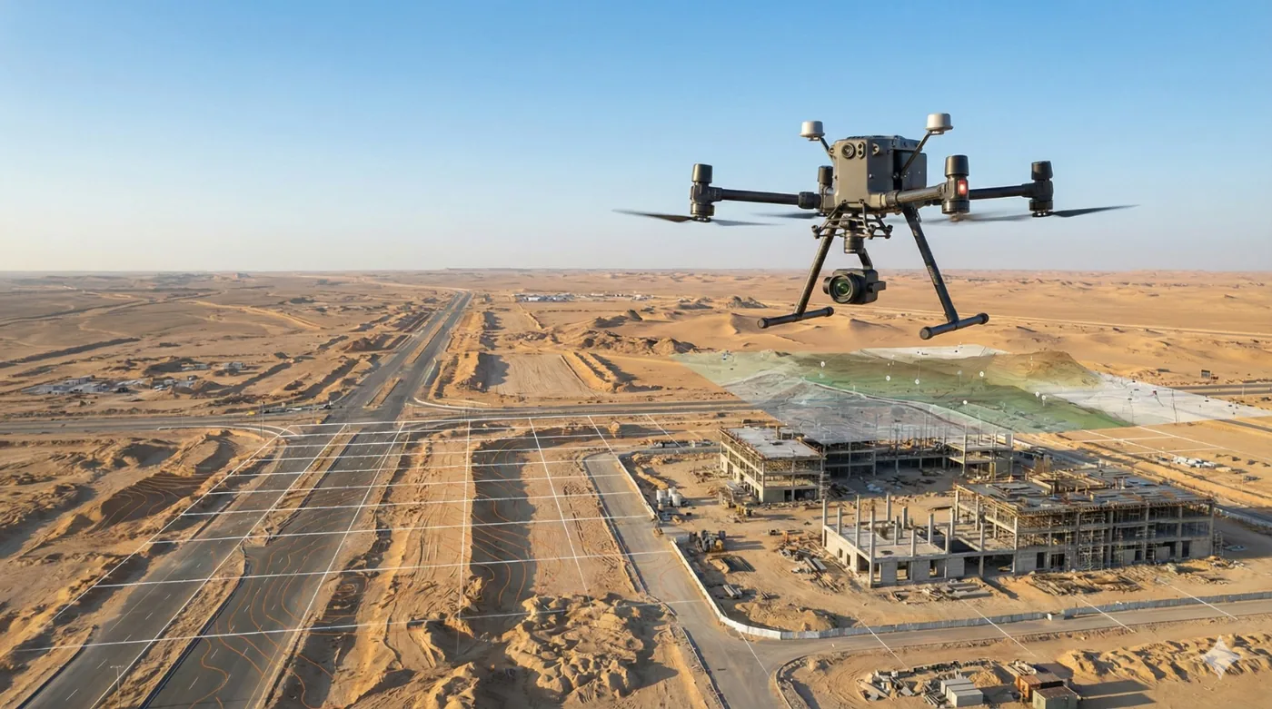
Shamal plans the mission around the accuracy, the coordinate system, and the file formats your engineers will actually use. Fixed-wing aircraft cover long corridors and wide sites. Multirotor aircraft add detail where the terrain or the asset needs a closer pass.

A typical delivery includes a georeferenced orthophoto, a digital elevation model, contours, and a textured 3D mesh — processed, checked, and handed over as a GIS-ready package rather than a folder of raw images.

Benefits

Service Benefits

What you gain when Shamal plans, flies, and delivers the work

Engineering-grade baselines
Orthophotos, elevation models, and contours referenced for design, earthworks, and master planning.
Built for distance and area
Fixed-wing coverage for corridors and large sites, with multirotor detail where a hover is required.
Difficult ground, fewer people on it
Steep ridges, dunes, and unstable rock surveyed from planned flight lines instead of repeated foot access.
Repeatable missions
The same control, flight lines, and processing path so a later flight can be compared with the baseline.
Checked before handover
Completeness, georeferencing, and documentation reviewed before the package reaches your GIS or design team.
One chain, from brief to files
Requirement, permits, capture, processing, and a technical report delivered as a single scope.
Use Cases

Applications

Where this service is applied across projects in Saudi Arabia

Master planning and giga-project sites
Site-wide orthophotos and terrain models where satellite elevation is too coarse for earthworks and layout.
Corridors and linear infrastructure
Roads, utilities, and pipeline alignments mapped efficiently over distance with consistent ground resolution.
Topographic mapping
Contours, digital surface and terrain models, and textured meshes for engineering and quantity context.
Pre-construction baselines
A controlled record of the site before work starts, ready for progress comparison later.
Remote and rugged terrain
Sandstone ridges, dunes, and large elevation change covered without putting crews on unstable ground.
Real estate and land development
Current site condition for planning, marketing context, and coordination with design consultants.
Technology

Technologies Used

Aircraft, sensors, and processing methods behind the deliverable

RTK UAV photogrammetry
Automated grid flights with survey-grade positioning and controlled ground resolution.
Fixed-wing platforms
Efficient coverage for long corridors, wide sites, and repeat monitoring programmes.
Orthomosaic processing
Georeferenced image basemaps your GIS team can measure and overlay.
DSM, DTM, and contours
Elevation products for earthworks, drainage, and route analysis.
Textured 3D mesh
A visual terrain model for stakeholders who need to see the site, not only the contours.
GIS-ready delivery
Layers, reports, and coordinate documentation prepared for downstream design systems.
FAQ

Frequently Asked Questions

Practical answers on scope, outputs, and how a project starts

Get Started
Plan an aerial survey
Share the site, the accuracy you need, and the files your team expects. We will propose the aircraft, the control, and the deliverable.