
Shamal Technologies Logo
Mining & Exploration
Service

Mining & Exploration

Wide ground, read as a map

Large-area mapping and AI-assisted interpretation for mines and exploration ground — inventories, land cover, encroachment, and GIS layers across sites that are too big to walk.

Overview

Many sites, one consistent reading

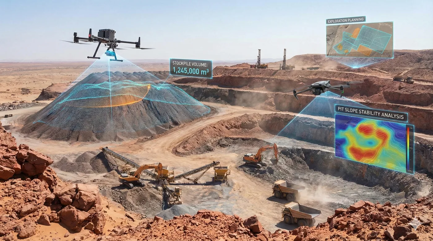
Mining ground does not fit a single walkover. Shamal maps large areas and multi-site programmes into orthomosaics, then applies classification to extract what operations need to see: assets, waste, vegetation, water, crusher and plant areas, buildings, and vehicles.

The same capability supports exploration context and perimeter control. Wide boundaries that ground patrols cannot cover often enough are flown on a repeat plan, so encroachment is a detection with a location, not a suspicion at the end of a shift.

Benefits

Service Benefits

What you gain when Shamal plans, flies, and delivers the work

Area that foot survey cannot hold
Orthomosaic coverage across wide leases and multi-site programmes under one method.
Features extracted, not only pictured
AI classification turns the mosaic into layers: assets, vegetation, water, waste, and structures.
An inventory you can query
Detected features delivered as GIS layers, with an assessment of detection quality.
Encroachment seen earlier
Repeat coverage of long perimeters so activity is flagged between patrols, not after it.
Vegetation and water in the same view
Environmental context mapped with the operational picture, not as a separate study.
One programme, many sites
A consistent capture and classification specification so sites can be compared.
Use Cases

Applications

Where this service is applied across projects in Saudi Arabia

Mine-site basemaps
Current orthomosaics of pits, plants, dumps, and access for planning and reporting.
Asset and land-cover inventory
Automated extraction of structures, vehicles, vegetation, water, waste, and work areas.
Exploration context
Wide-area terrain and surface mapping before and during field programmes.
Perimeter encroachment
Repeat flights along long boundaries where a ground vehicle arrives too late.
Environmental compliance on site
Vegetation cover and water bodies mapped against the operational footprint.
Multi-site programmes
The same specification applied across a portfolio so management sees one standard of evidence.
Technology

Technologies Used

Aircraft, sensors, and processing methods behind the deliverable

Large-area orthomosaics
Georeferenced basemaps covering leases measured in square kilometres.
AI feature extraction
Models trained to detect and classify mining and environmental features on the mosaic.
GIS inventory layers
Detected objects delivered as layers, not as marks on a picture.
Vegetation and water analysis
Cover and water mapping included in the same classification pass.
Repeat perimeter missions
Scheduled flights for boundaries that change faster than a ground patrol can see.
Accuracy assessment
Detection quality reviewed and reported with the inventory, not assumed.
FAQ

Frequently Asked Questions

Practical answers on scope, outputs, and how a project starts

Get Started
Map a mining programme
Share the sites, the features you need extracted, and whether the priority is inventory, environment, or the boundary. We will propose the capture and the model.
Mining & Exploration | Shamal Technologies | Shamal Technologies