
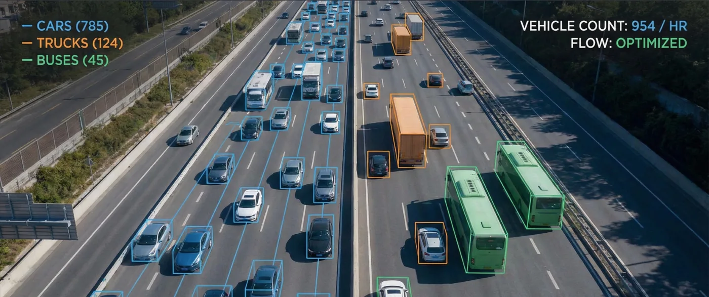
Traffic Count & Traffic Analysis
See the bottleneck, not only the queue
Aerial observation of intersections and corridors, turned into counts, density maps, and movement analysis that show where traffic accumulates and why.
Spatial evidence for a traffic question
Ground counts struggle to show how a queue at one approach creates the failure at the next. Shamal captures high-resolution aerial video of intersections and corridors, then uses geospatial analysis to map density, congestion hotspots, and drops in speed.
The result is a picture of movement, not a single total: where vehicles accumulate, how the peak behaves, and which point in the junction is driving the delay. That is the evidence traffic engineers use to test a cause before they change the layout.
Service Benefits
What you gain when Shamal plans, flies, and delivers the work
Applications
Where this service is applied across projects in Saudi Arabia
Technologies Used
Aircraft, sensors, and processing methods behind the deliverable
Frequently Asked Questions
Practical answers on scope, outputs, and how a project starts