
AI Application Development
Aerial data, turned into a decision
Custom detection, classification, and geospatial AI trained on your imagery — orthomosaics, patrol video, and field data converted into layers and alerts your team can use.
Models built for the site, not a generic demo
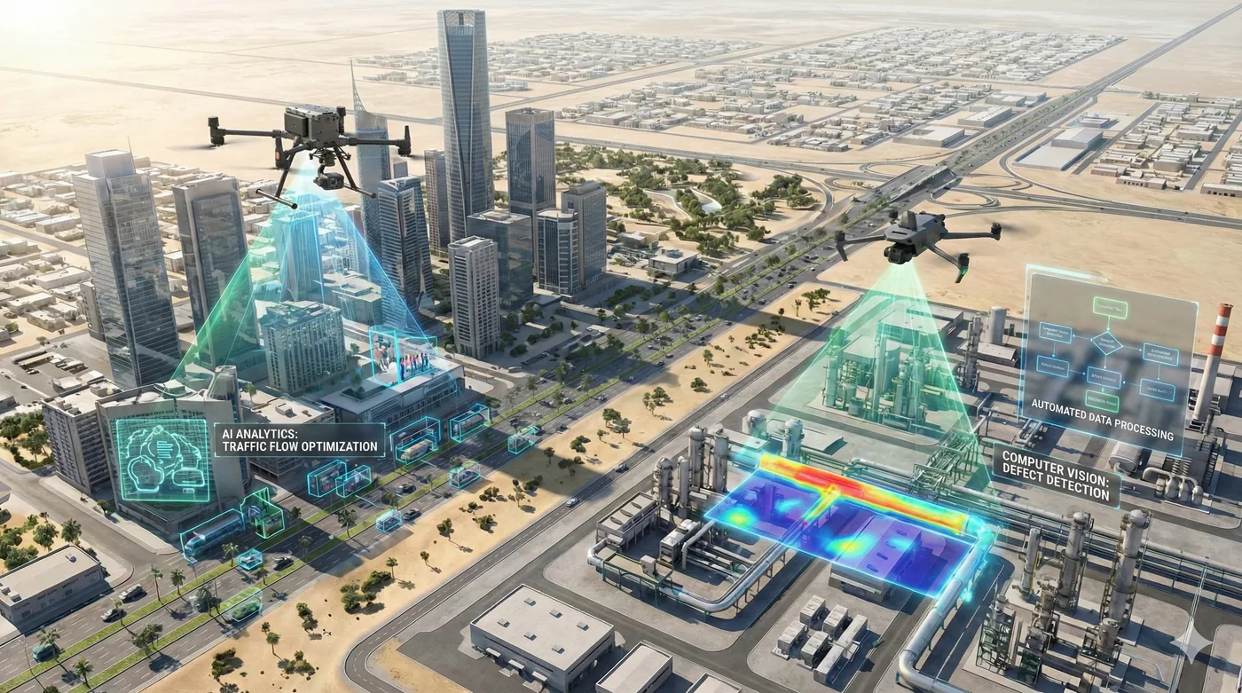
Shamal develops AI around aerial operations we already fly. That includes feature extraction on orthomosaics, real-time classification of people and vehicles at the edge, safety detection such as helmets, congestion and density analysis from traffic video, and detection models for environmental monitoring.
A useful model is not a slideshow. We define the classes, train and assess accuracy, and deliver the result as GIS layers, a detection log, or an alert in the workflow your operators already watch.
Service Benefits
What you gain when Shamal plans, flies, and delivers the work
Applications
Where this service is applied across projects in Saudi Arabia
Technologies Used
Aircraft, sensors, and processing methods behind the deliverable
Frequently Asked Questions
Practical answers on scope, outputs, and how a project starts