
Shamal Technologies Logo
Special Projects
Service

Special Projects

Innovative solutions for complex challenges

Specialized drone and geospatial operations for unique, mission-critical work that does not fit a standard survey, inspection, or mapping scope.

Overview

Customized operations beyond conventional services

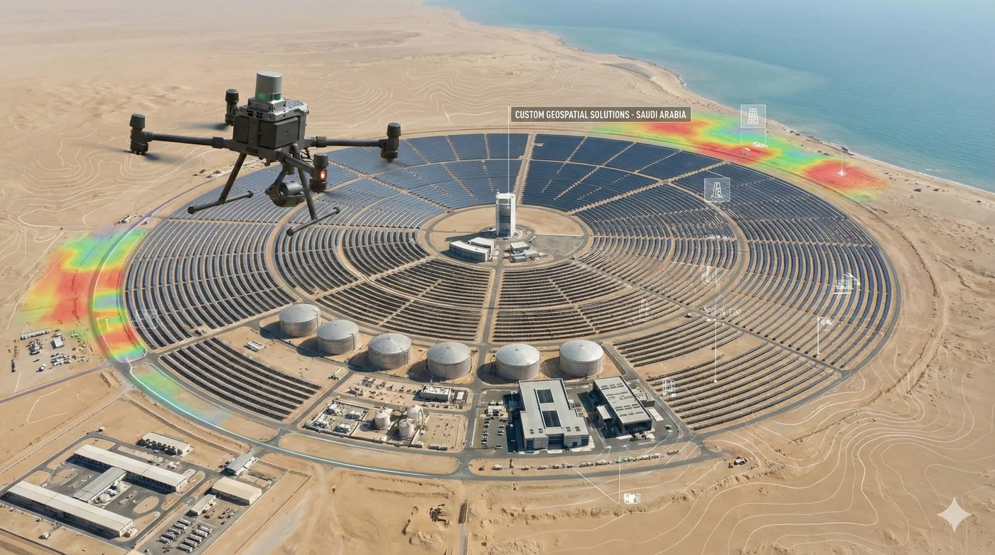
Every project has constraints that a catalogue service will not absorb. Shamal’s Special Projects work combines UAV operations, GIS, AI analytics, remote sensing, and field execution for missions that need a method written for the objective — not a method borrowed from the nearest standard product.

That includes public-sector and smart-city programmes, environmental and research missions, security tasks with an unusual site, and infrastructure work where the deliverable is a decision, not a flight. We take the job from feasibility and mission planning through capture, processing, quality control, and the final report.

Benefits

Service Benefits

What you gain when Shamal plans, flies, and delivers the work

Tailored project execution
The aircraft, the sensors, the flight logic, and the files are chosen around the objective and the stakeholders who will use the result.
Multi-disciplinary team
Pilots, GIS specialists, survey staff, analysts, and project managers working as one delivery team.
Technology matched to the mission
UAV platforms, LiDAR, thermal, multispectral, AI, and GIS combined only where each one earns its place.
Accuracy with a paper trail
Collection, processing, and quality checks documented so the output can be defended, not only viewed.
Regulatory compliance
Approvals, method statements, and site safety planned to Saudi aviation and client requirements before flight.
End-to-end support
Feasibility, planning, capture, analysis, and final deliverables under one scope and one point of accountability.
Use Cases

Applications

Where this service is applied across projects in Saudi Arabia

Government and smart-city programmes
Spatial evidence for urban planning, digital programmes, and public infrastructure where the question is new.
Environmental and sustainability missions
Habitat, vegetation, and impact monitoring designed around a conservation or compliance question.
Security and strategic sites
Aerial intelligence and situational awareness for perimeters and assets that do not match a standard patrol.
Research and proof-of-concept
Custom missions to test a sensor, a model, or a method before it becomes a standing service.
Large infrastructure programmes
Complex acquisition and monitoring for transport, utilities, energy, and industrial development.
Emergency and incident support
Rapid deployment for damage assessment, incident context, and planning imagery when time is the constraint.
Technology

Technologies Used

Aircraft, sensors, and processing methods behind the deliverable

Enterprise UAV platforms
Fixed-wing and multirotor aircraft selected for distance, hover, or endurance as the site demands.
GIS and spatial analysis
Maps, measurements, and layers prepared for the decision, not only for the archive.
AI-assisted interpretation
Detection and classification where the volume of imagery is beyond manual review.
LiDAR and remote sensing
3D structure and multispectral indices when a photograph is not the measurement.
Controlled data delivery
Secure transfer, documented processing, and files your stakeholders can share internally.
Client-system integration
Outputs shaped for an existing GIS, dashboard, or reporting workflow.
FAQ

Frequently Asked Questions

Practical answers on scope, outputs, and how a project starts

Get Started
Bring us the problem, not a flight request
Describe the decision you need and the constraints on the site. We will propose the method, the outputs, and how the work will be controlled.