
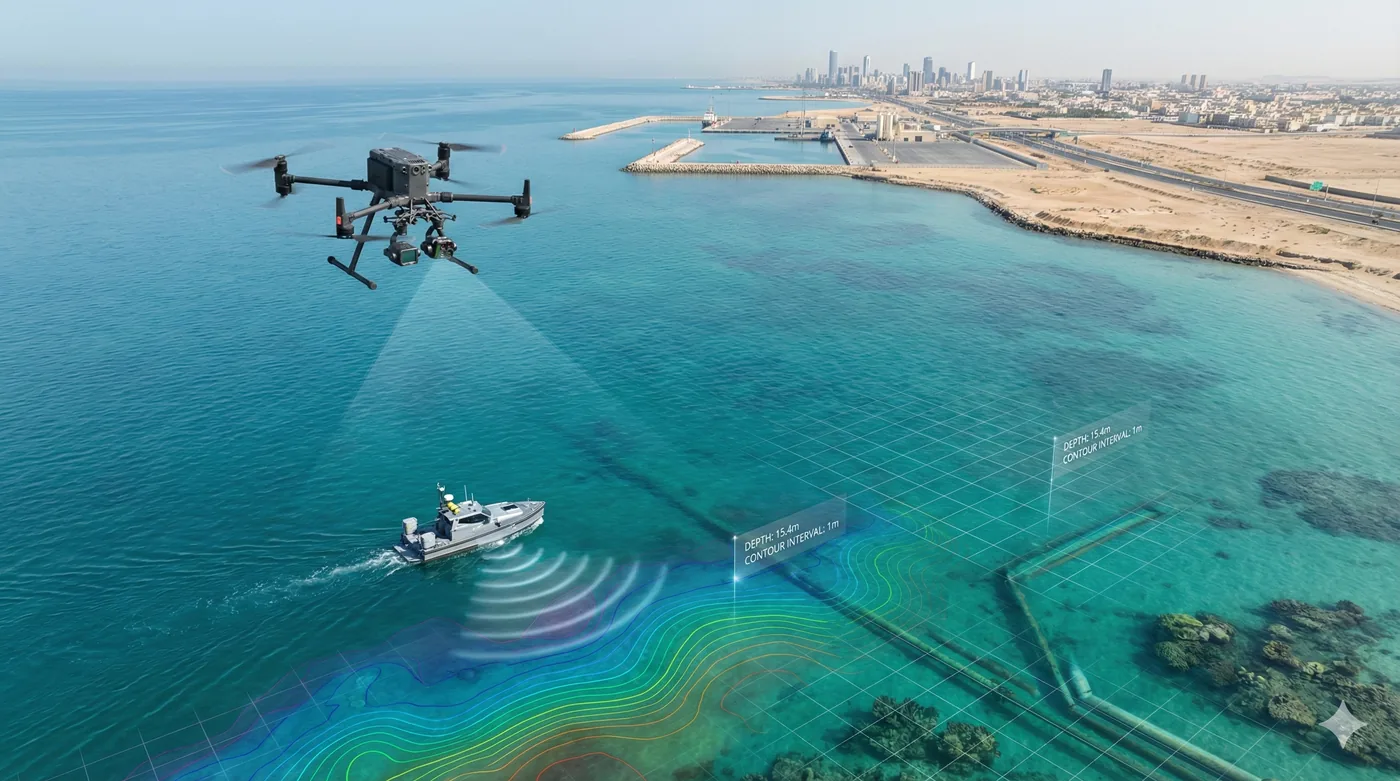
Bathymetric & Underwater Survey
Marine sites, seen before the plume moves
Coastal, port, and near-shore survey for dredging, marine infrastructure, and environmental control — surface intelligence that supports bathymetric and underwater programmes.
The water surface, mapped in time to act
Ports, dredge faces, and long coastlines are slow to cover by boat and difficult to interpret from a single visit. Shamal flies repeat surveys over marine works and shorelines, processes georeferenced orthomosaics, and uses multispectral indices to show where sediment and other surface change are moving.
Where a project also needs bathymetric or underwater measurement, the aerial record gives the team a same-day picture of the work face, the containment line, and the surrounding habitat — so hydrographic effort is aimed, not spent searching.
Service Benefits
What you gain when Shamal plans, flies, and delivers the work
Applications
Where this service is applied across projects in Saudi Arabia
Technologies Used
Aircraft, sensors, and processing methods behind the deliverable
Frequently Asked Questions
Practical answers on scope, outputs, and how a project starts