
Shamal Technologies Logo
Construction Monitoring
Service

Construction Monitoring

The build, recorded on a schedule

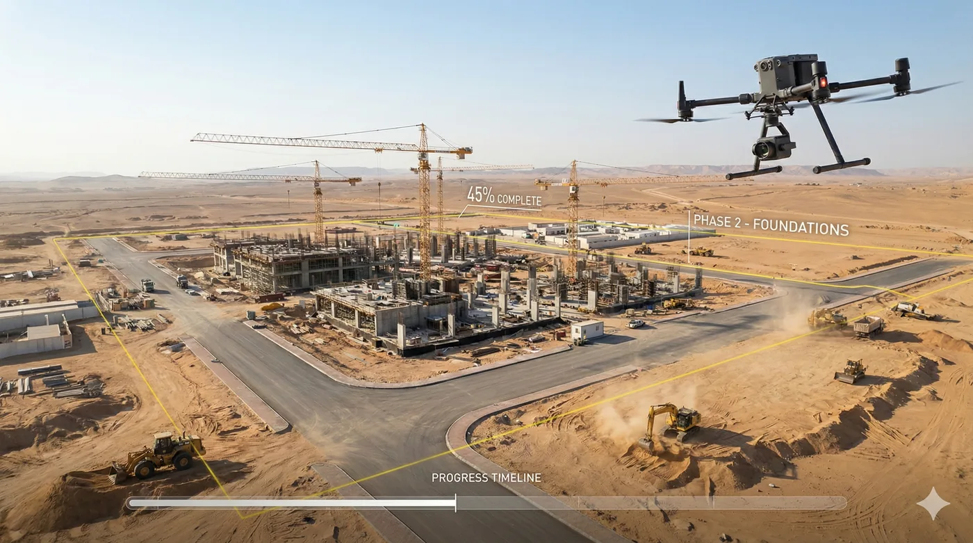
Repeat aerial capture that turns a construction programme into a visual, measurable record — progress maps, comparison sets, and stakeholder reporting from the same flight lines.

Overview

Same lines, same angles, every cycle

Construction monitoring only works if each visit can be compared with the last. Shamal flies pre-agreed lines and camera angles on a set rhythm — weekly on long programmes — and returns photo, video, and map sets the project team can review without walking the site.

The record is built for documentation and coordination: orthomosaics, comparison maps, and progress evidence that shortens the time spent assembling updates for consultants, owners, and site leadership.

Benefits

Service Benefits

What you gain when Shamal plans, flies, and delivers the work

A record that can be compared
Consistent flight lines and camera angles so this week sits directly against last week.
Less time assembling updates
Photo, video, and map sets replace long ground walkthroughs as the basis for progress reporting.
Visible to people off the site
Owners, consultants, and leadership see the same evidence without travelling to the project.
Suitable for long programmes
The workflow is built to run for the life of a build, not as a one-off showcase flight.
Mapped, not only filmed
Orthomosaics and comparison maps sit alongside video so progress can be located, not just watched.
One partner for the cadence
Planning, flying, processing, and the progress pack delivered on the schedule you set.
Use Cases

Applications

Where this service is applied across projects in Saudi Arabia

Weekly progress documentation
A standing capture cycle across the build, issued as photo, video, and map evidence.
Consultant and owner reporting
Comparison views that make sequence, delay, and completed work easier to explain.
Industrial and large sites
Wide construction areas covered in one planned mission instead of a partial ground tour.
Earthworks and civil packages
Surface change made visible between cycles for teams managing levels and sequencing.
Remote project oversight
A shared visual record for stakeholders who are not based on site.
Close-out and claims support
A dated archive of what the site looked like at each capture, kept in one sequence.
Technology

Technologies Used

Aircraft, sensors, and processing methods behind the deliverable

Repeat flight plans
Locked lines and altitudes so every cycle is comparable with the last.
Progress orthomosaics
Georeferenced site maps produced on the same processing path each visit.
Comparison mapping
Side-by-side and overlay views that show what changed since the previous capture.
Photo and video evidence
Oblique and overview imagery for meetings where a map alone is not enough.
Stakeholder packs
A consistent reporting set rather than a new format every week.
Secure data handover
Controlled transfer and storage of project imagery and maps.
FAQ

Frequently Asked Questions

Practical answers on scope, outputs, and how a project starts

Get Started
Set up a monitoring cycle
Tell us the site, the reporting audience, and how often you need an update. We will lock the flight plan and the deliverable.