
Shamal Technologies Logo
Environmental Monitoring
Service

Environmental Monitoring

Habitat and change, measured over time

Repeat monitoring of vegetation, coastlines, and environmental change — multispectral indices, orthomosaics, and GIS evidence for conservation and project compliance.

Overview

See stress and spread before they are obvious

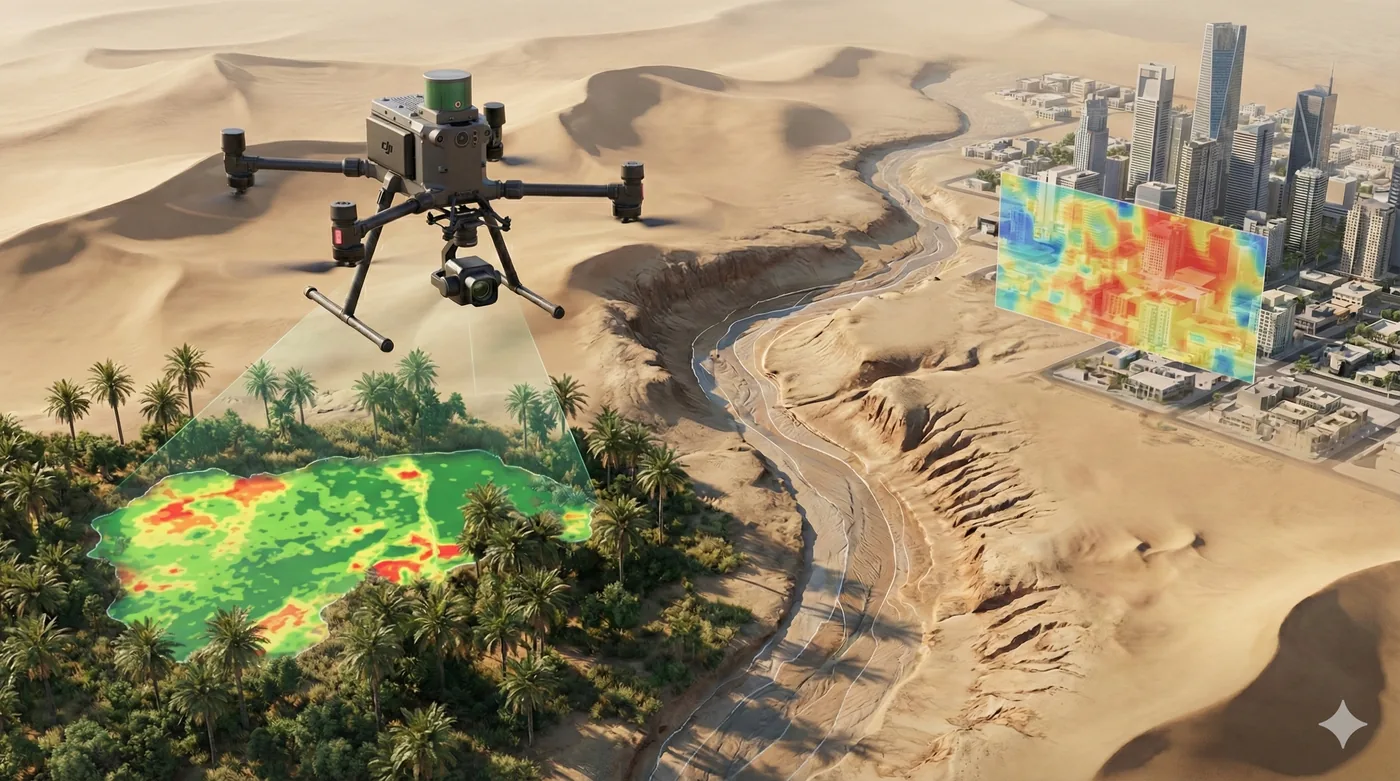
Environmental change is easy to miss until it is already visible from the ground. Shamal monitors vegetation health, coastal habitat, and marine works with repeat flights: RGB orthophotos for context, and multispectral imagery processed into indices such as NDVI so early stress can be mapped, not guessed.

The same approach covers sediment leaving a dredge area and long coastlines that boats and foot patrols cannot cover consistently. Deliverables are georeferenced maps and a record that can be flown again.

Benefits

Service Benefits

What you gain when Shamal plans, flies, and delivers the work

Early plant stress
Multispectral indices show condition the eye cannot separate until damage is already done.
Coverage at landscape scale
Crop areas, mangrove stands, and coastlines mapped in repeatable missions rather than sample walks.
Evidence for compliance
Dated, georeferenced maps that show where change occurred and how it was measured.
Habitat in context
RGB orthophotos sit beside index maps so a classification can be checked against the ground.
Marine and coastal watch
Sediment plumes and shoreline condition monitored without a boat on every pass.
A baseline you can repeat
The mission is designed to be flown again so a season or a project phase can be compared.
Use Cases

Applications

Where this service is applied across projects in Saudi Arabia

Mangrove and coastal vegetation
NDVI and multispectral orthomosaics for health, extent, and change in coastal planting.
Conservation and habitat programmes
Wide-area imagery and targeted confirmation for protected species and sensitive shores.
Dredging and marine works
Plume density and spread mapped against the containment line during active works.
Environmental impact follow-up
Repeat layers that show whether vegetation, water, or shoreline condition is shifting.
Vegetation cover mapping
Classified cover for sites where the amount and type of vegetation is part of the record.
Coastline surveys
Long-endurance flights over shore and near-shore water that ground teams cannot hold continuously.
Technology

Technologies Used

Aircraft, sensors, and processing methods behind the deliverable

Five-band multispectral
Imagery processed into health indices and georeferenced orthomosaics.
NDVI health maps
A standard vegetation index delivered as a GeoTIFF for analysis and archive.
RGB orthophotos
Visual context captured alongside the multispectral pass for validation.
Fixed-wing coastal survey
Endurance for long shores and near-shore extents in a single mission.
Sediment index mapping
Multispectral maps that flag plume spread beyond a containment line.
GIS-ready environmental layers
Index maps, orthomosaics, and a method note for the project file.
FAQ

Frequently Asked Questions

Practical answers on scope, outputs, and how a project starts

Get Started
Plan an environmental mission
Describe the habitat or the works, the question you need answered, and how often it should be repeated. We will propose the sensors and the maps.