
Shamal Technologies Logo
GIS & Remote Sensing
Service

GIS & Remote Sensing

Field data your systems can use

From aerial capture to decision-ready geospatial products: orthomosaics, terrain models, point clouds, change detection, and GIS layers for technical and business teams.

Overview

The value is the usable data product

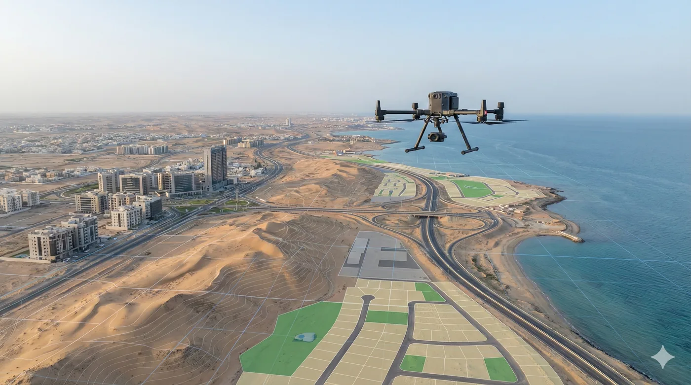
A flight is only useful once it becomes a file someone can measure, compare, and load into GIS, a dashboard, or a design model. Shamal runs that full chain: define the area and the acceptance criteria, plan the mission, capture, process, analyse, and deliver.

Remote sensing sits inside the same workflow. Multispectral indices, classification, and repeat coverage turn imagery into layers — vegetation, water, change, assets — instead of leaving interpretation to a visual guess.

Benefits

Service Benefits

What you gain when Shamal plans, flies, and delivers the work

Outputs, not footage
Orthomosaics, terrain models, point clouds, contours, and reports structured for downstream use.
Specified before the flight
Area, accuracy, format, and acceptance criteria agreed so the product matches the decision.
Ready for GIS and digital twins
Layers and models prepared for overlay, analysis, and spatial systems you already run.
Change you can measure
Repeat missions compared against a baseline for progress, encroachment, or new activity.
Remote sensing with a location
Indices and classifications delivered as georeferenced layers, not as standalone pictures.
Documented method
Each package includes how the data was captured, processed, and checked.
Use Cases

Applications

Where this service is applied across projects in Saudi Arabia

Asset and corridor basemaps
A current, measurable image of distributed sites that office teams cannot visit every week.
Engineering terrain products
DSM, DTM, and contours for earthwork, drainage, and route decisions.
Change detection programmes
Baseline and repeat layers for construction progress, land activity, and encroachment.
Environmental indices
Vegetation, water, and land-cover layers derived from multispectral capture.
Digital twin inputs
Point clouds and 3D models that give a spatial base for facility and site models.
Management reporting
Maps plus a written method, measurements, and recommendations for non-GIS readers.
Technology

Technologies Used

Aircraft, sensors, and processing methods behind the deliverable

Orthomosaic mapping
High-resolution georeferenced basemaps of a site, corridor, or facility.
DSM, DTM, and contours
Terrain products for engineering and spatial analysis.
Point clouds and 3D models
Spatial models for measurement and as input to a digital twin.
Multispectral remote sensing
Band combinations and indices such as NDVI for vegetation and surface condition.
Change detection
Repeat coverage compared against the baseline you already hold.
GIS layer packages
Reusable files with coordinate documentation and a technical report.
FAQ

Frequently Asked Questions

Practical answers on scope, outputs, and how a project starts

Get Started
Define the data product
Tell us the decision the map has to support. We will specify the capture, the layers, and the format before anyone flies.
GIS & Remote Sensing | Shamal Technologies | Shamal Technologies